Texas Land Consulting & GIS Mapping
Geographic Information Systems (GIS) integrates all of the professional services that our land consulting service provides. GIS utilizes a set of tools that enables the creation, display, storage, and manipulation of data that can be linked to geographic locations on your property.
From a simple location map in a report to a spatially integrated resource inventory, we utilize GIS in our day-to-day operations. Knowing about the resources on a property is one thing, but knowing exactly where they are is even more important.
GIS Consulting & Mapping
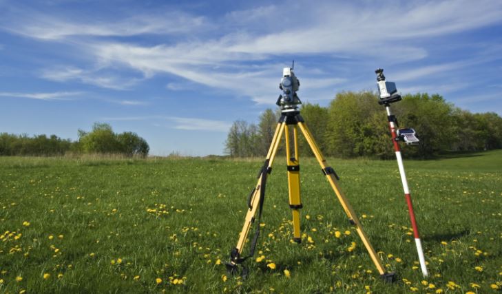
We are experienced in creating and updating GIS through field measurements and via remotely sensed sources such as aerial photography and satellite imagery. Maintenance and creation of large multi-layered GIS is a specialty of our land consulting service.
The ability to accurately relate these layers plays a critical role in all of our land management activities. Whatever your GIS needs may be, we will provide you with efficient and professional service. If you are in need, or just think you may be in need, contact our land consulting and GIS mapping team to find out how we can help you.